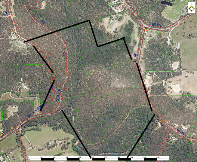
The following maps have been generated for Toomuc Landcare by the Port Phillip and Westernport Catchment Authority in order to provide us with a local perspective of our environment which will, in turn, help us in developing projects. They use the latest data held by the Victorian Government, as at May 2009.
- Bioregional Conservation Status of Ecological Vegetation Class
- Aboriginal cultural sites and sensitivity areas
- Pre-1750 extent Ecological Vegetation Class (EVC)
- PPW Region Native Vegetation Plan Priority EVCs for increase in quality
- Property Boundaries
- 2005 extent Ecological Vegetation Class (EVC)
- PPW region Native Vegetation Plan Priority EVCs for increase in protection
- Bio Regions

